Airborne LiDAR scanning +7 706 711 00 24 info@aerostream.kz
from 3,900 tenge per hectare and you will receive the relief of any site in the local coordinate system!
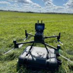
LiDAR scanning at Aerostream
What do you get?
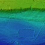
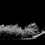
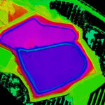
Are you conducting surveys in forested areas and/or with complex terrain? Classical geodesy is beyond your budget, and photogrammetry does not provide terrain? Then order airborne laser scanning from us. The result in the form of a classified point cloud by class “land”, DTM, contours in the local coordinate system you will receive the next day after the survey. Productivity from 3 sq. km per day or from 30 linear km per day. Finally get a true DTM, not a DSM!
Since 2020, we have completed more than a 100 projects, scanning linear objects up to 150 kilometers


