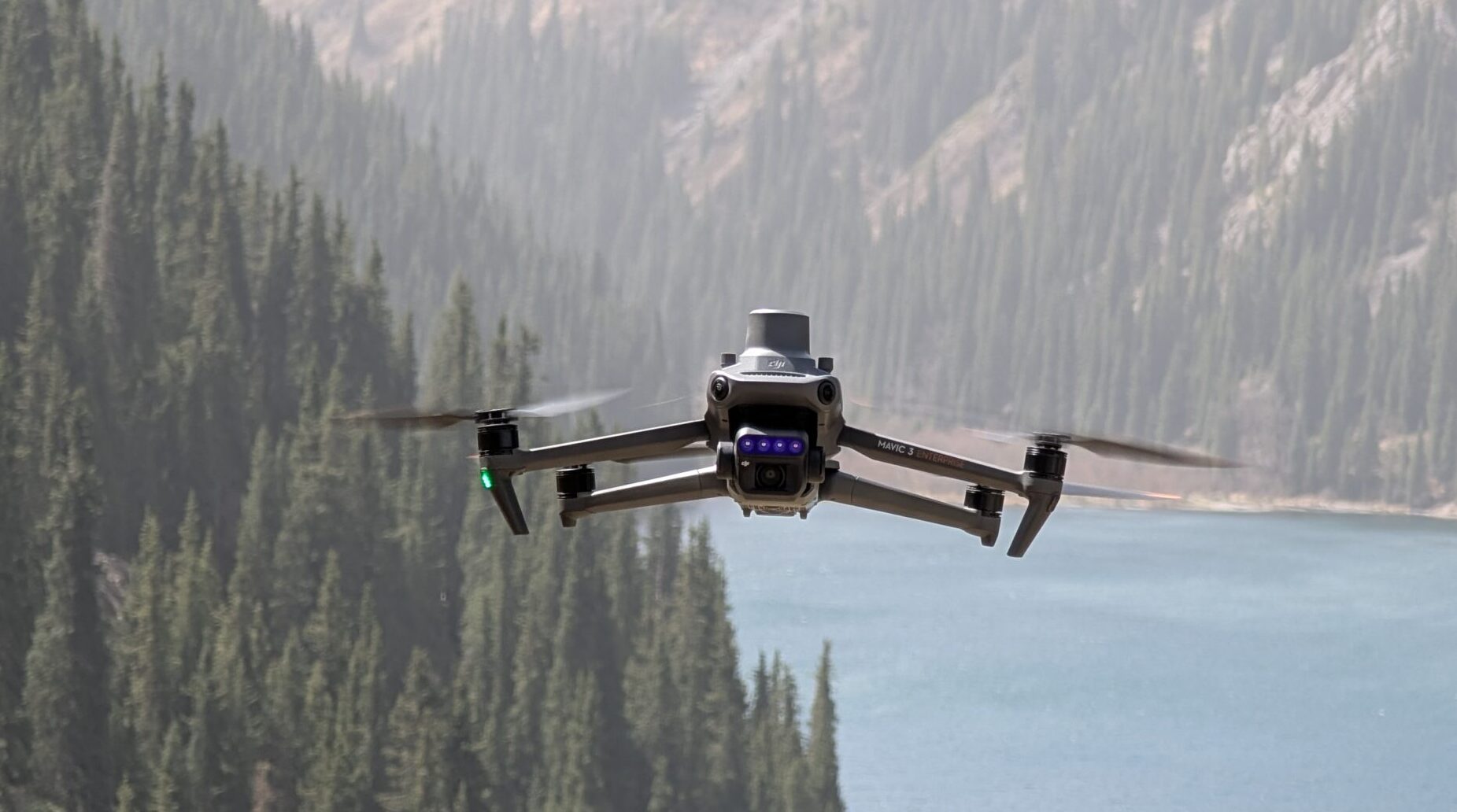
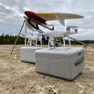
Educational courses
WE PROVIDE BOTH ONLINE AND IN PERSON COURSES
Оформляя заказ, запрашивая информацию по электронной почте или телефону, а также производя оплату любым способом, Вы подтверждаете, что ознакомились и соглашаетесь с условиями Договора оферты об оказании услуг по обучению и Политикой конфиденциальности.
ОНЛАЙН - КУРС "АЭРОФОТОГЕОДЕЗИСТ"
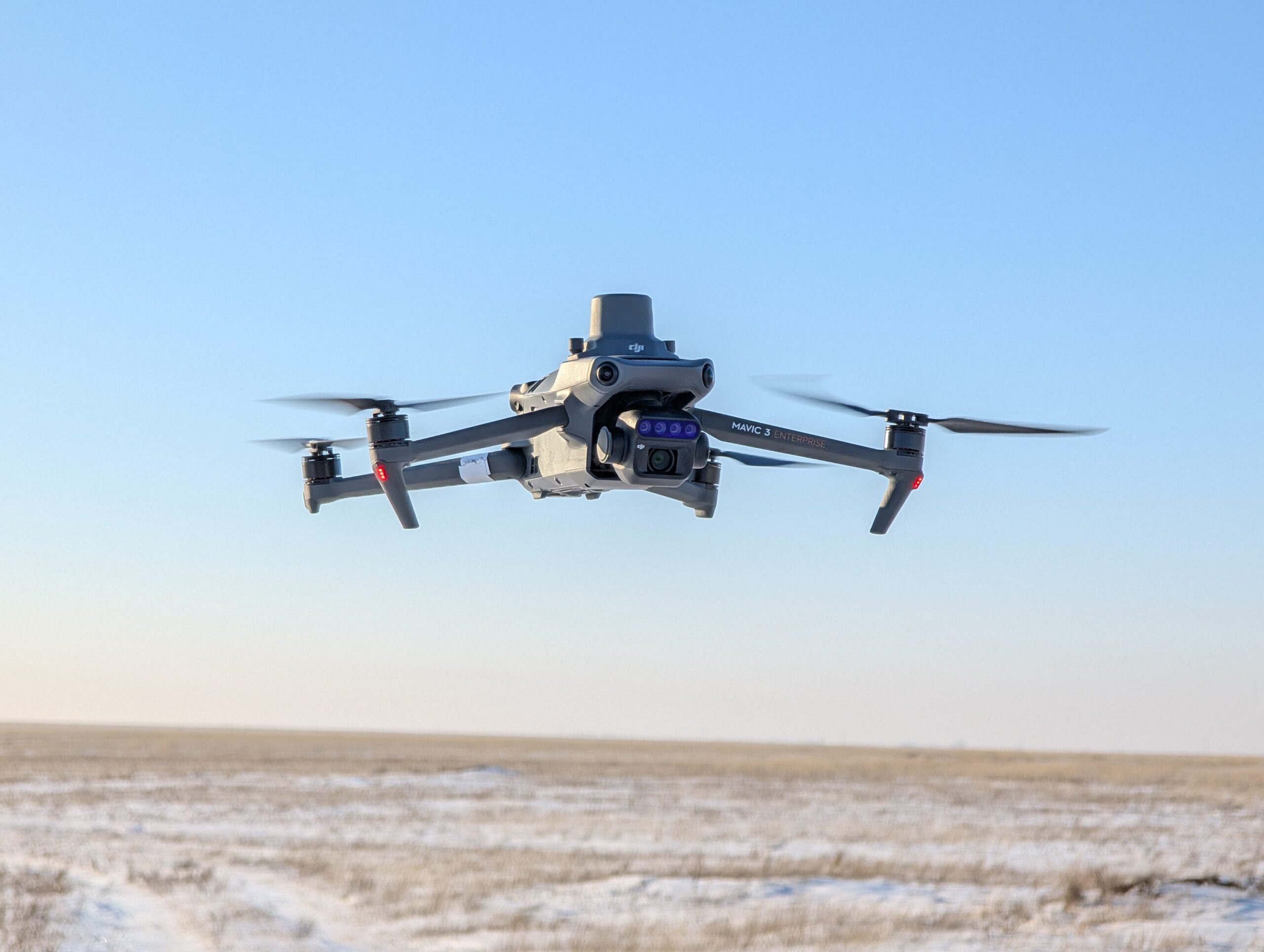
В этом курсе Вы узнаете:
- о работе с дронами DJI (в программе DJI Pilot 2) на примере Mavic 3 Enterprise и Mavic 3 Multispectral;
- о выполнении с их помощью аэрофотосъемочных работ;
- об использовании софта;
- о получении разрешений на работу в запретных зонах.
Для прохождения курса Вам понадобится только компьютер или телефон, а также подключение к интернету.
Target audience.. сотрудники инженерно-геодезических компаний, операторы БПЛА, проектировщики, аэрогеодезические предприятия, специалисты ГИС.
Duration.. 2 дня/ 16 часов
Стоимость 159 000 ₸
Курс будет проходить на платформе для онлайн-обучения
КУРС 1. ОБРАБОТКА ГЕОДЕЗИЧЕСКИХ ИЗМЕРЕНИЙ С БПЛА И ФОТОГРАММЕТРИЧЕСКАЯ ОБРАБОТКА СНИМКОВ В AGISOFT METASHAPE
Course description
Target audience.UAV operators, cartographers, engineers, surveyors, architects, GIS specialists, archaeologists, cadastre and inventory specialists.
Provided equipment.Computer with all necessary software.
Duration..
3 дня / 21 час (обучение полётам + обработка)
2 дня / 14 час (обучение обработке)
Cost.
420 000 ₸ очный курс (обучение полётам + обработка)
280 000 ₸ очный курс (обучение обработке)
COURSE 2. AIRBORNE LIDAR SCANNING WITH DJI MATRICE 300 RTK + L1 (LIVOX) OR AGM MS1/MS2/MS3 AND DATA PROCESSING

Target audience.employees of industrial engineering and surveying companies, UAV operators, architects
Provided equipment.. DJI Matrice 400 RTK + L3 (город Алматы). Необходимое геодезическое оборудование. Специально подготовленный ПК для обработки
Duration.4 days/ 32 hours
Стоимость 1 700 000 ₸
Дистанционный курс обучения только по обработке данных ВЛС 850 000 ₸. 2 дня.
COURSE 3. PHOTOGRAMMETRIC DATA PROCESSING IN REALITY CAPTURE
Target audience.CG and VR specialists, 3D artists, architects, urban planners, technical survey and inspection specialists, UAV pilots, quadcopter and 3D modeling enthusiasts.
Provided equipment.Computer with all necessary software.
Duration.2 days (14 hours)
Cost. 200 000 ₸
Distance course 180,000 ₸

COURSE 4. FACADE AND ROOF SURVEYING. ORTHOMOSAIC PRODUCTION. IMPORT DATA INTO AUTOCAD.
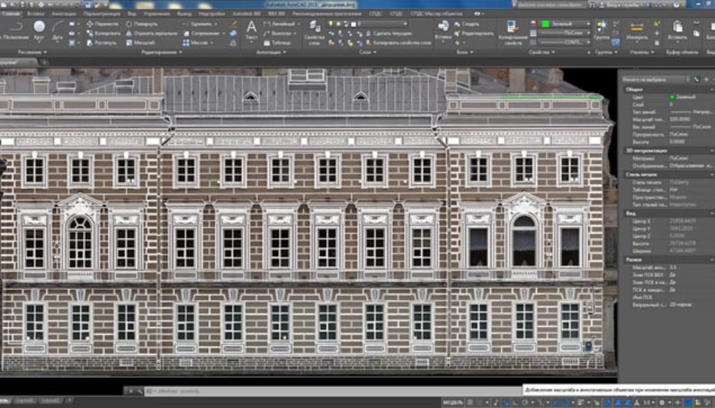
Target audience.UAV pilots, architects, urban planners, technical survey and inspection specialists, municipalities, amateur quadcopter owners
Provided equipment.Training quadcopter. Necessary survey and photogrammetric equipment. Computer with all necessary software.
Duration.Full course with flight practice - 4 days. Data processing part only - 2.5 days
Cost Full course with flights 650,000 ₸
Processing only - 320,000 ₸
Distance learning course on the Zoom platform 310,000 ₸
COURSE 5. IMPLEMENTATION OF THE TECHNOLOGY FOR OBTAINING SPATIALLY ACCURATE 3D MODELS AS A TURNKEY SOLUTION

Course description
For businesses that want to implement the technology of obtaining spatially accurate 3D models of terrain, urban infrastructure and visualize the results on the WEB. A 10-day course, where all stages and aspects of the technology will be discussed in detail.
Target audience.Companies working in the field of engineering and surveying, remote sensing, cadastre, design, architecture and urban planning, monuments and cultural heritage sites protection, road monitoring, restoration of buildings and structures, game-dev and VR-experiences, universities, and municipalities.
Duration.10 days
CostBy request
