Linear aerial photography of a road
Creation of a digital terrain model and preparation of a set of materials for the design and analysis of a highway route
As part of the engineering survey project, the Aerostream team completed a comprehensive set of linear aerial photography projects for the road, followed by the preparation of topographic data and a 3D terrain model.
A special feature of the project was the significant length of the facility – 35 kilometers, as well as the need to obtain data suitable for performing a topographic survey at a scale of 1:500 and further design of the linear structure.
The main objective of the work was to create a high-precision digital model of the terrain and prepare a set of materials for the design and analysis of the highway route.
Field work
Aerial photography was carried out using an unmanned aerial vehicle. DJI Matrice 4E, CHC i83 and Emlid RS3 GNSS receivers, satellite communication system Starlink to ensure stable data transmission and RTK positioning.
Key shooting parameters:
-
Length of the object — 35 km
-
Filming strip – 50 m from the road axis
-
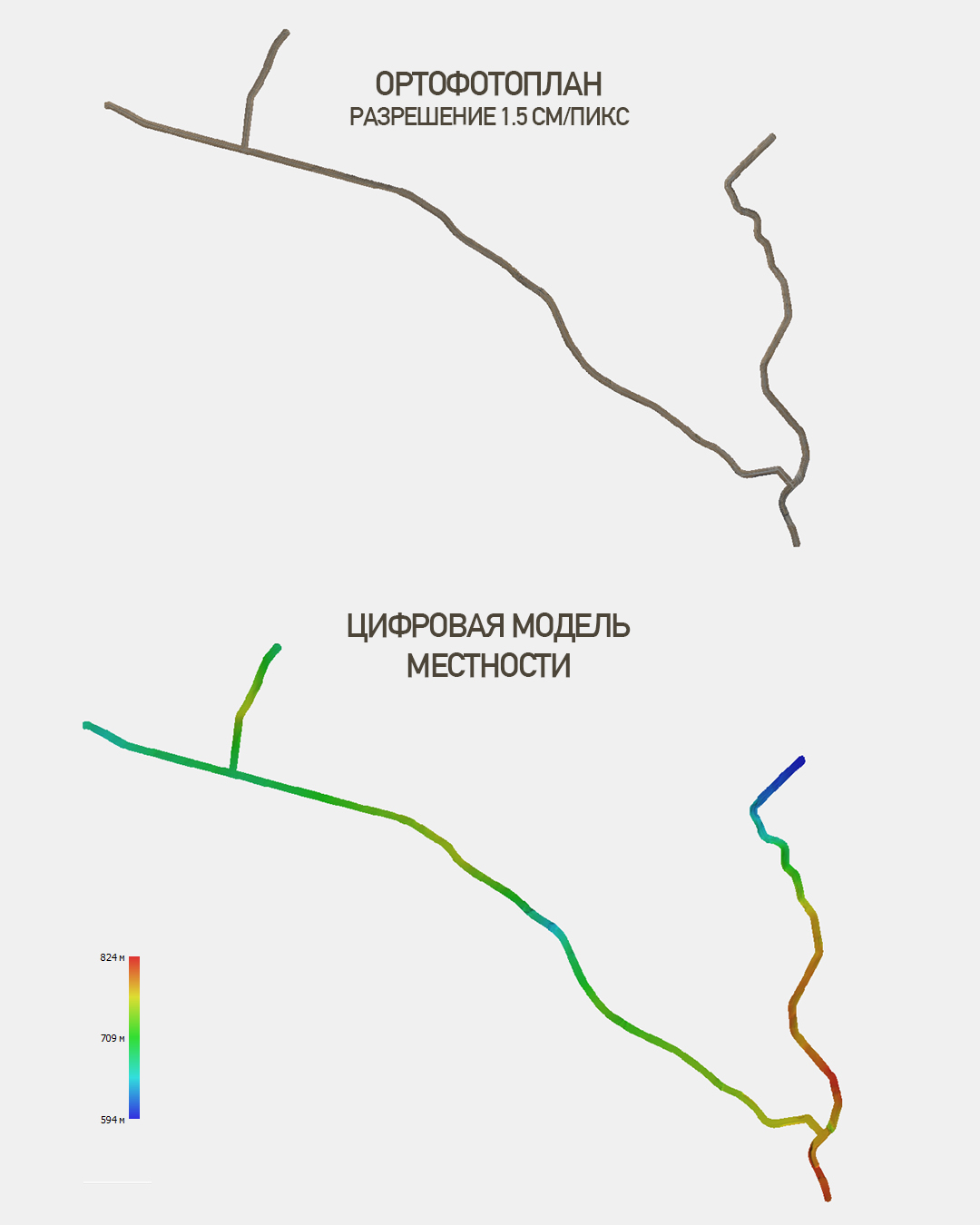
Aerial photography resolution – 1.5 cm/pix
- Number of flights – 19
- Number of photos – 13,500
-
Duration of the field stage – 4 days
Office data processing
After completion of field work, a full cycle of photogrammetric data processing was carried out.
The treatment included:
-
image alignment and construction of a photogrammetric network;
-
formation of a dense point cloud;
-
construction of a digital terrain model (DTM);
-
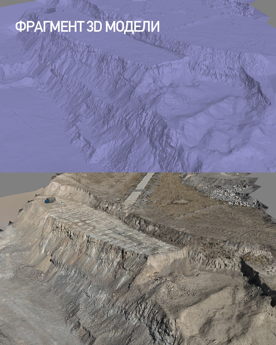
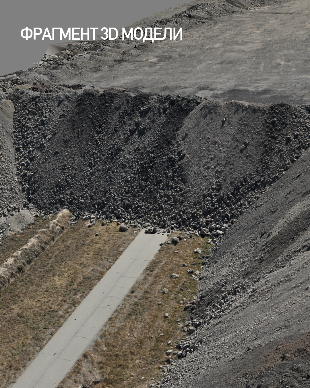
creation of a three-dimensional photogrammetric model;
-
preparation of topographic materials for further design.
AFS data processing period - 14 days.
Final materials
As a result of the project, the Client received a complete set of spatial data and engineering materials, including:
-
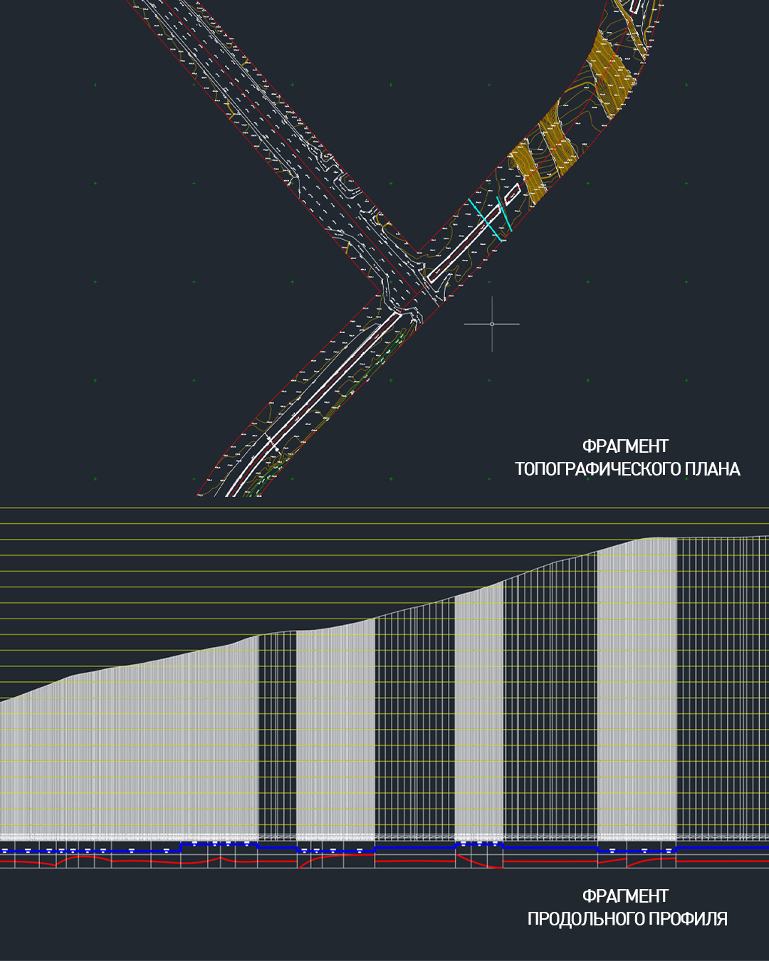
topographic plan at a scale of 1:500 in dwg format;
-
longitudinal profile of a road in dwg format;
-
highly detailed photogrammetric 3D model in OBJ format.
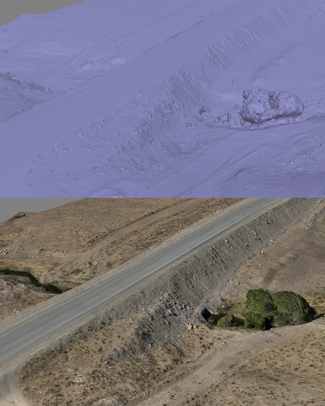
The use of unmanned technology allowed for the rapid acquisition of a complete set of spatial data for the 35-kilometer-long facility. The resulting data provided the client with an accurate digital foundation for design, terrain analysis, preparation of longitudinal profiles, and development of design solutions.