Surveying for a Gold Mine
Obtaining high-precision spatial data for the preparation of a detailed topographic plan for an area with complex mountainous terrain
Team Aerostream carried out a range of aerial photography and airborne laser scanning work as part of engineering surveys to design transport accessibility to a gold ore deposit.
The main objective of the project was to obtain highly accurate spatial data for the preparation of a detailed topographic plan for an area with complex mountainous terrain.
Technology and equipment
To collect the initial information, the following works were carried out: airborne laser scanning, high-resolution aerial photography, creation of a geodetic justification and data quality control, office processing and preparation of materials for further design.
Equipment used:
-
DJI Matrice 300 RTK with lidar Zenmuse L1 — for laser scanning;
-
DJI Matrice 4E — for aerial photography;
-
GNSS receiver EmlidRS3 (2 sets);
-
Starlink to ensure stable RTK correction in a remote work area.
Field work
Field stage parameters:
-
Length of a linear object — 15 km
- Filming strip width – 150 m
- Elevation difference on the site – up to 800 m
- AFS Permission – up to 3 cm/pix
- Density of the VLS – up to 60 points/m2
- Accuracy of VLS – up to 7 cm in plan and height
-
Duration of field work - 3 days
The work was carried out in conditions of pronounced relief with large altitude differences, which placed increased demands on flight planning, the quality of navigation support, and the accuracy of the data obtained.
Office data processing
After the survey was completed, office data processing was carried out, including:
-
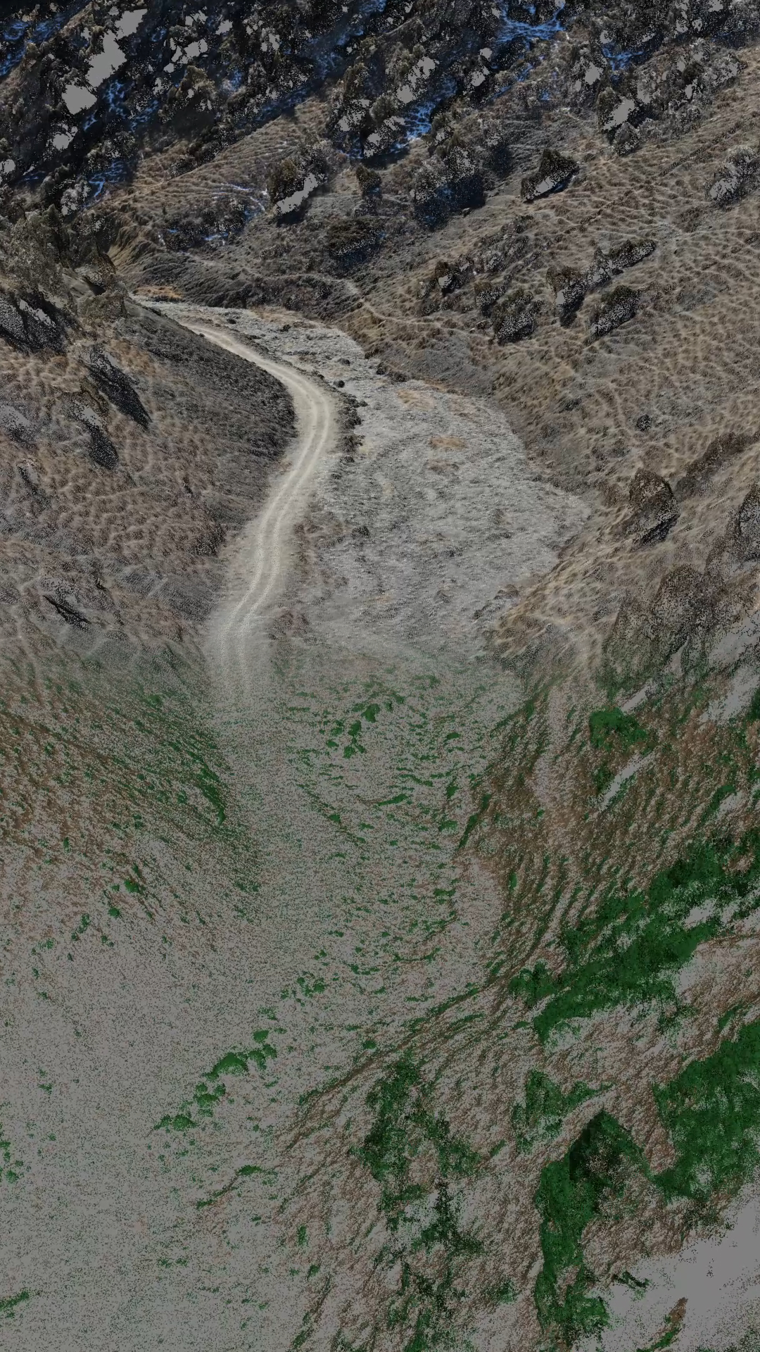
photogrammetric processing of aerial photographs;
-
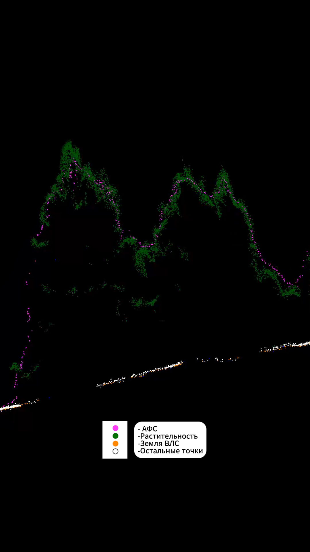
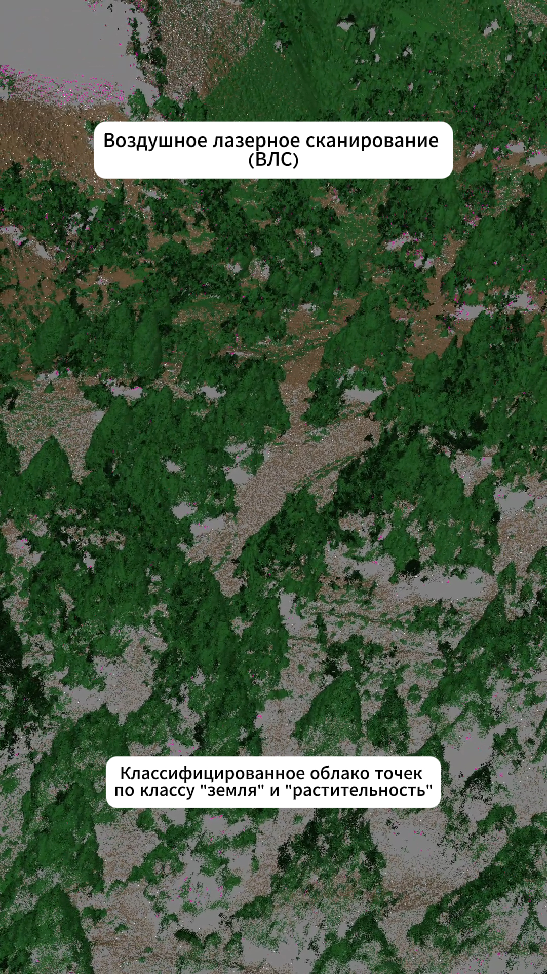
laser scanning data processing;
-
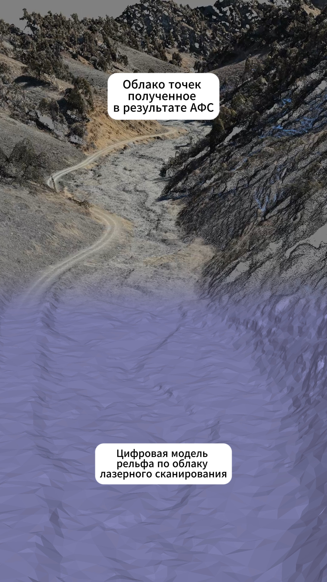
fusion of aerial photography and laser scanning data;
⏱ Office processing period - 1 week.
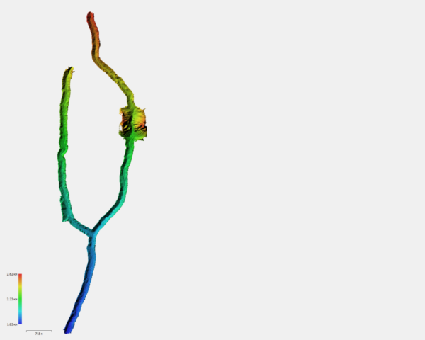
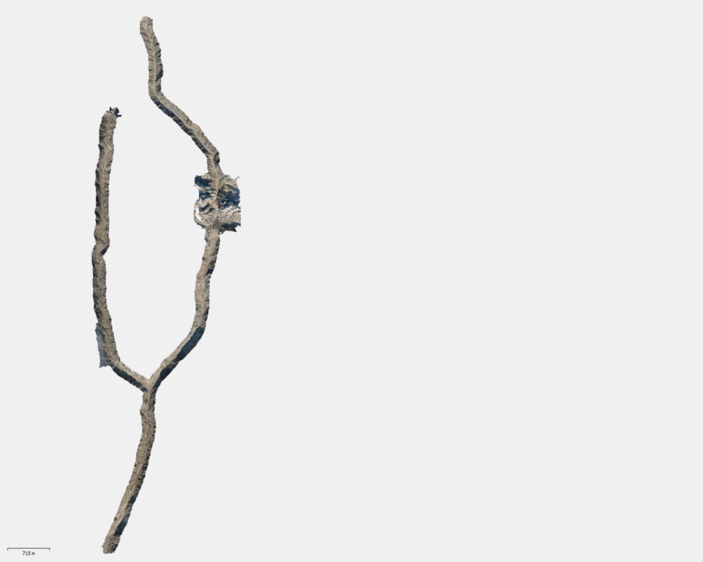
Final materials
As a result, the customer received:
-
final orthophotomap with a resolution of up to 3 cm/pix;
-
classified cloud of VLAN points by class “ground”;
-
digital elevation model
The data obtained provided a reliable basis for developing design solutions, allowing for consideration of terrain features and minimizing risks when designing future transport infrastructure.