VLS in high-mountainous areas
Aerial laser scanning in high-mountain areas
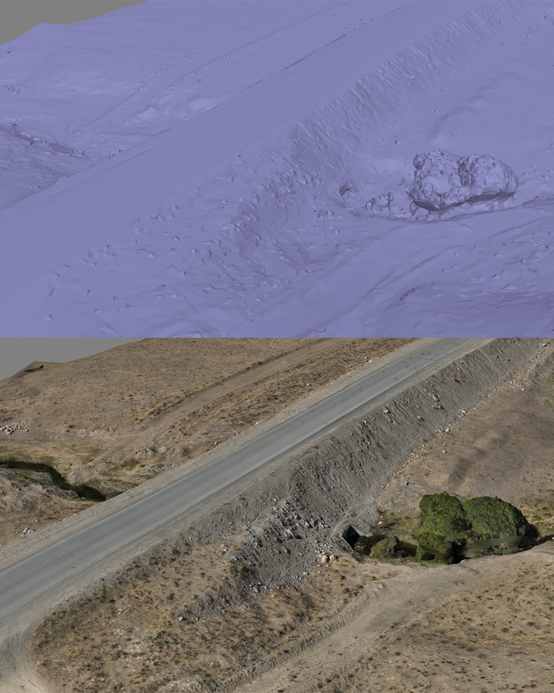
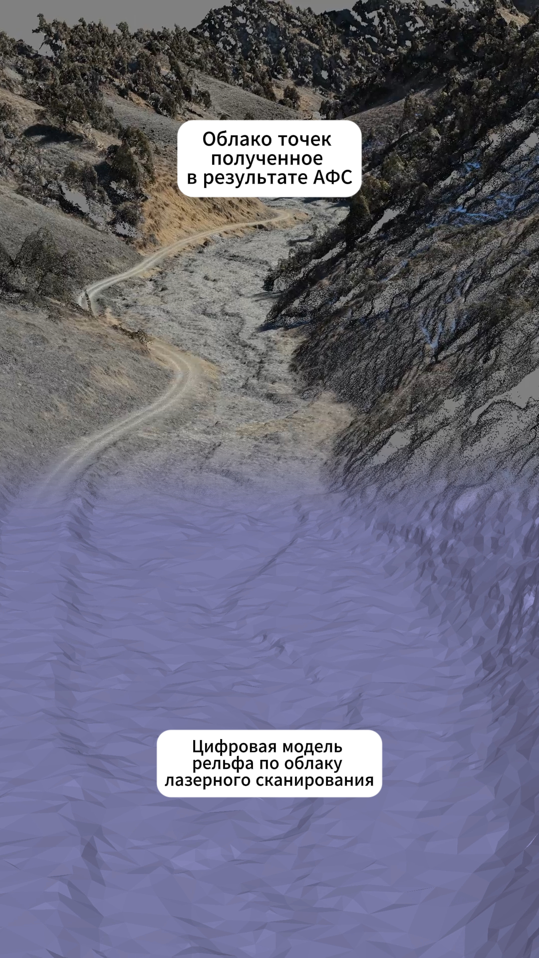
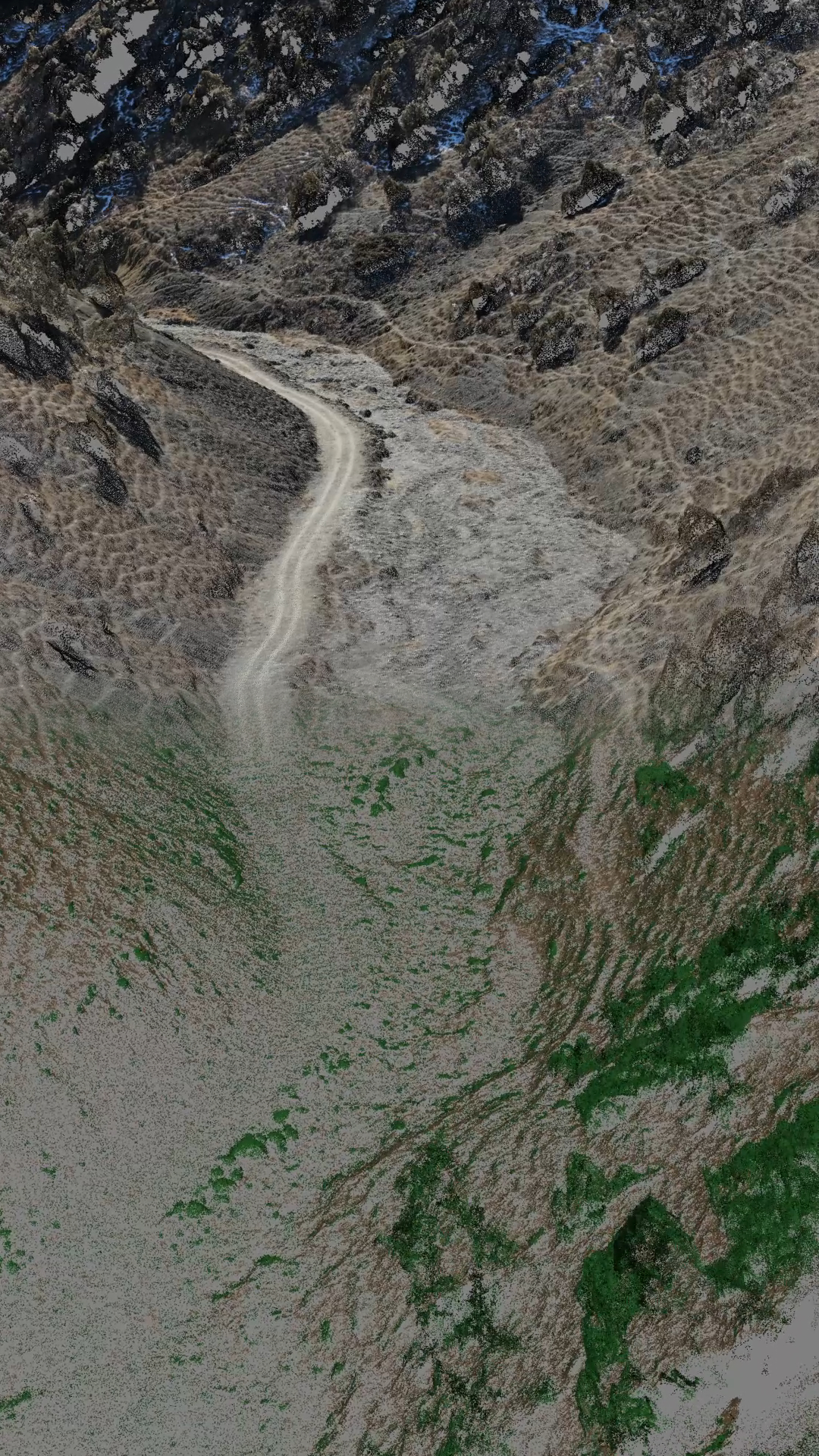
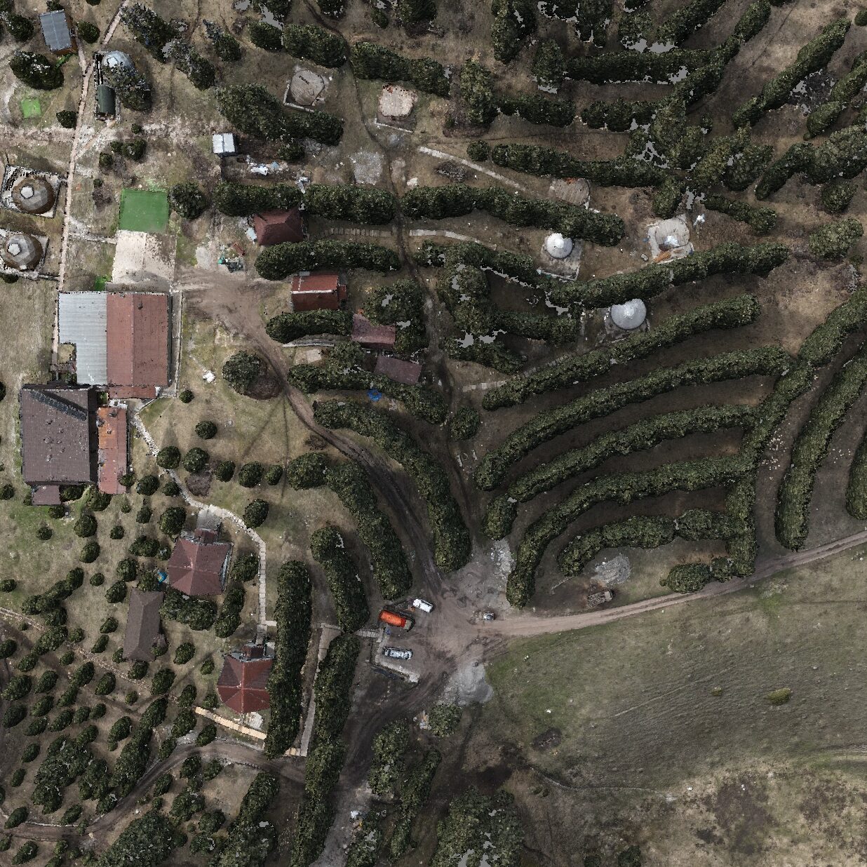
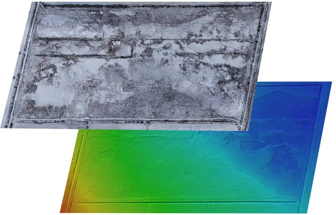
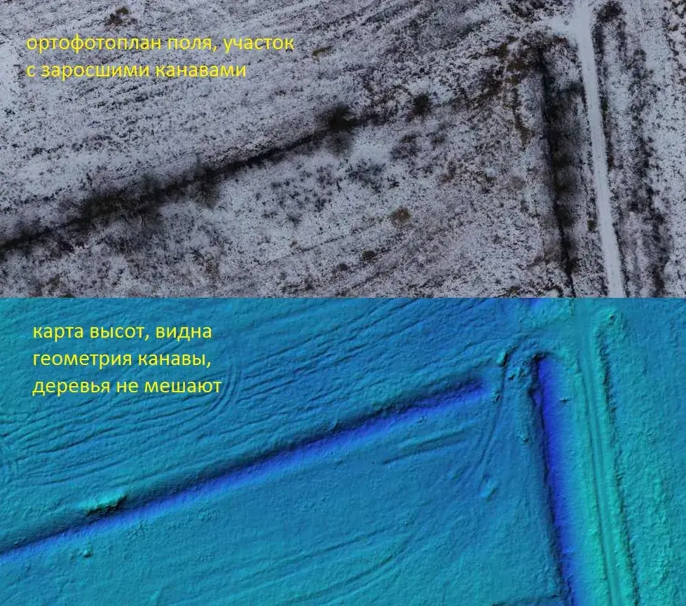
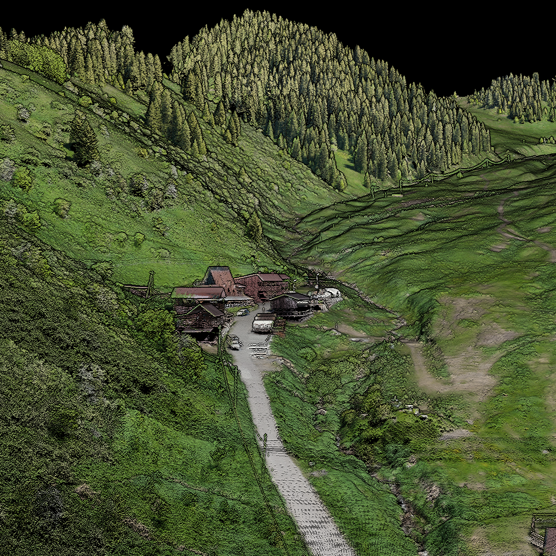
Obtaining a highly accurate point cloud covering the entire survey area and suitable for subsequent creation of topographic materials.
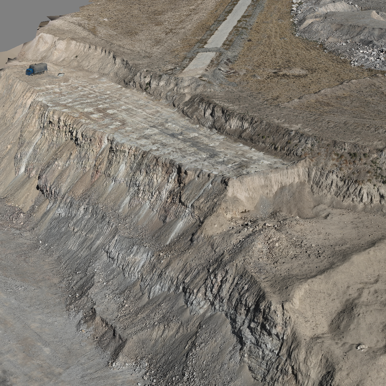
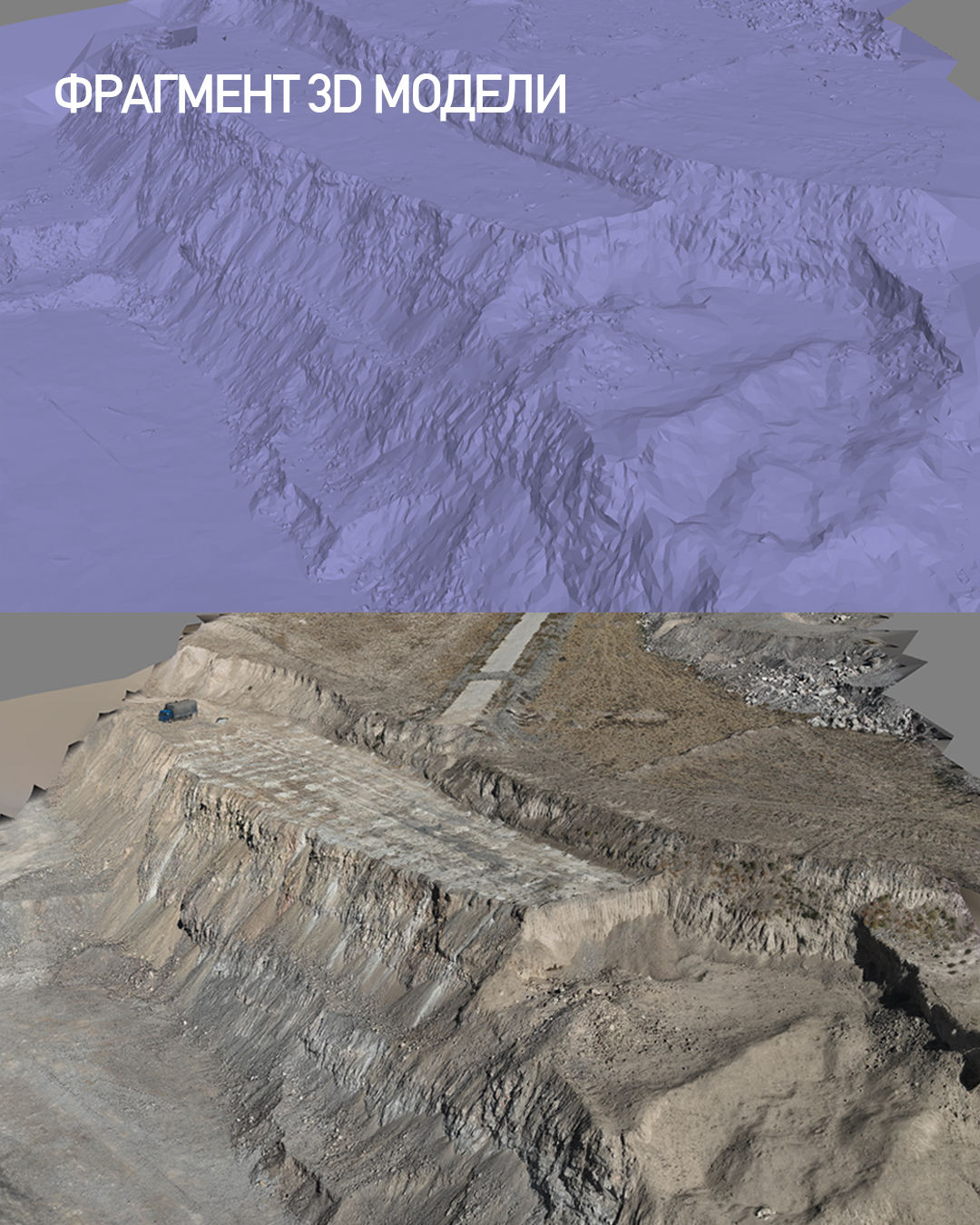
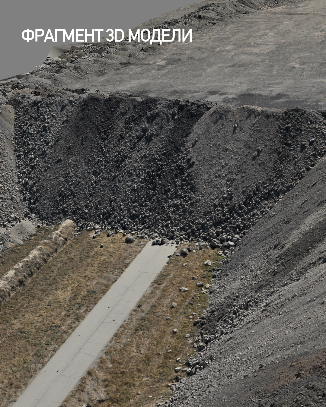
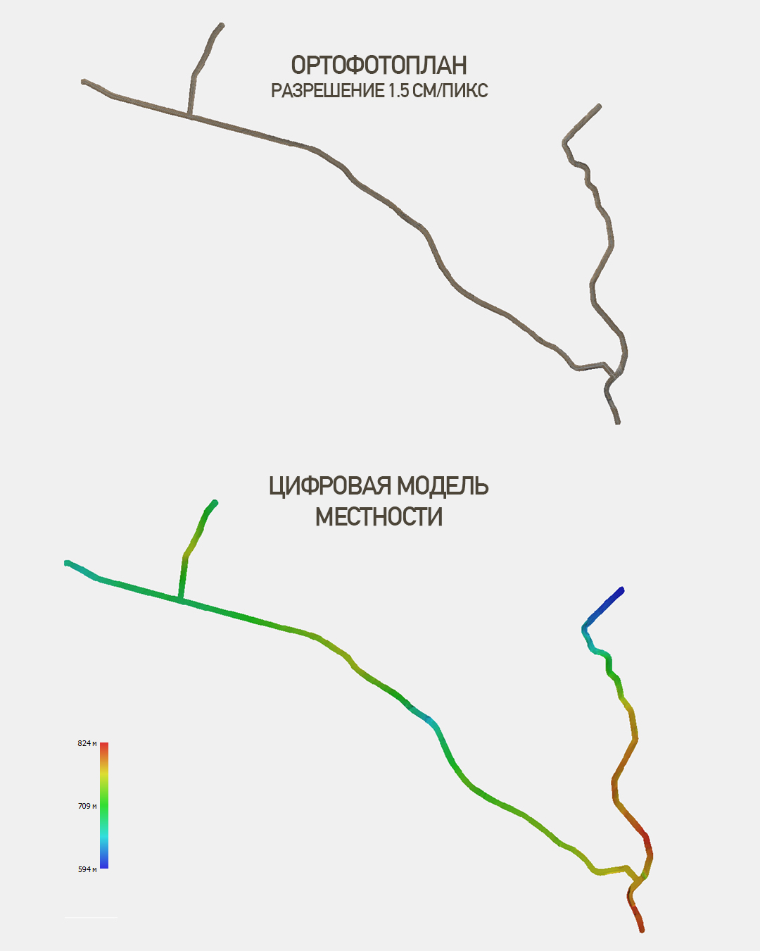
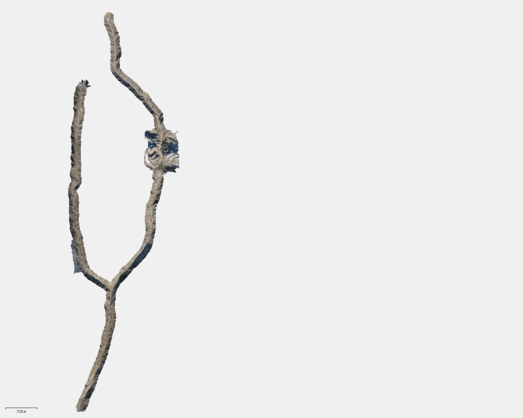
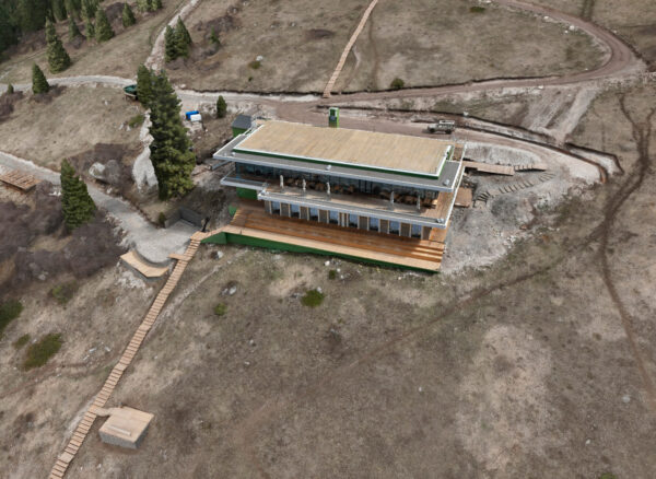
As part of the project, our team conducted aerial laser scanning of an area with complex, high-altitude terrain.
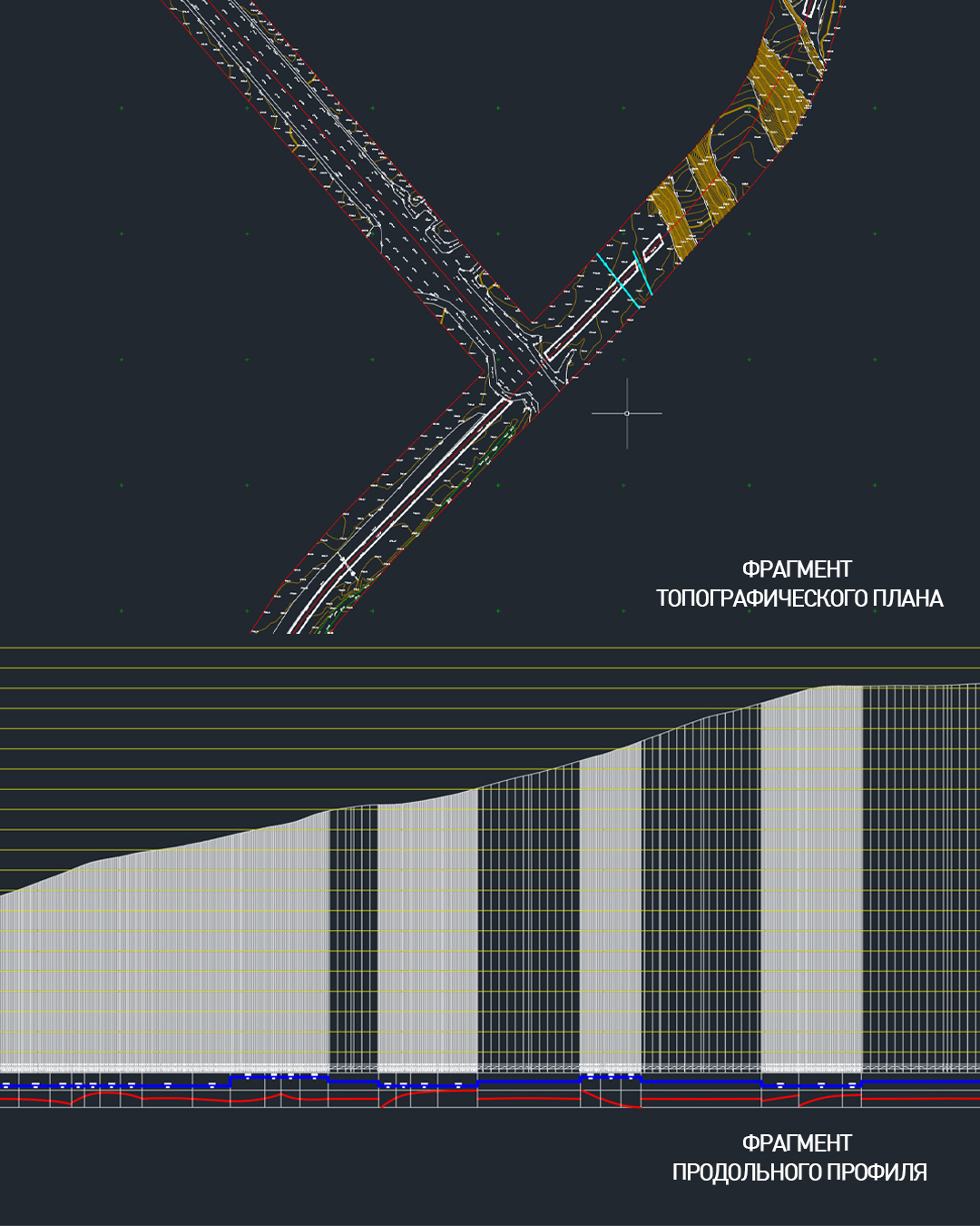
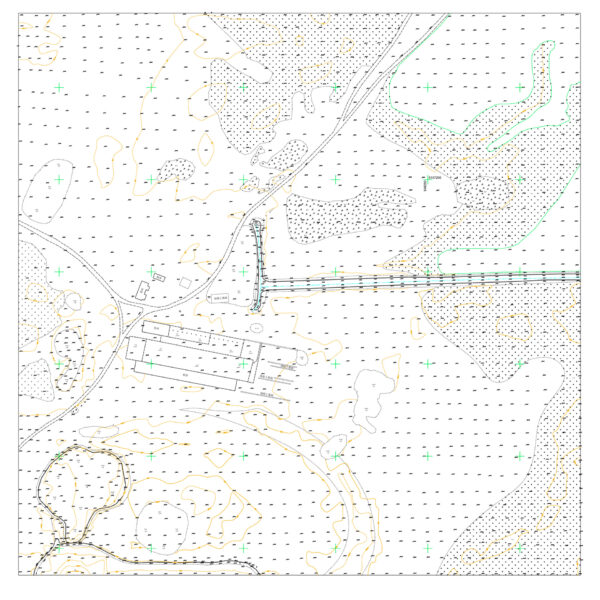
The obtained spatial data is intended for the creation of a detailed topographic plan and further design of the infrastructure facility.
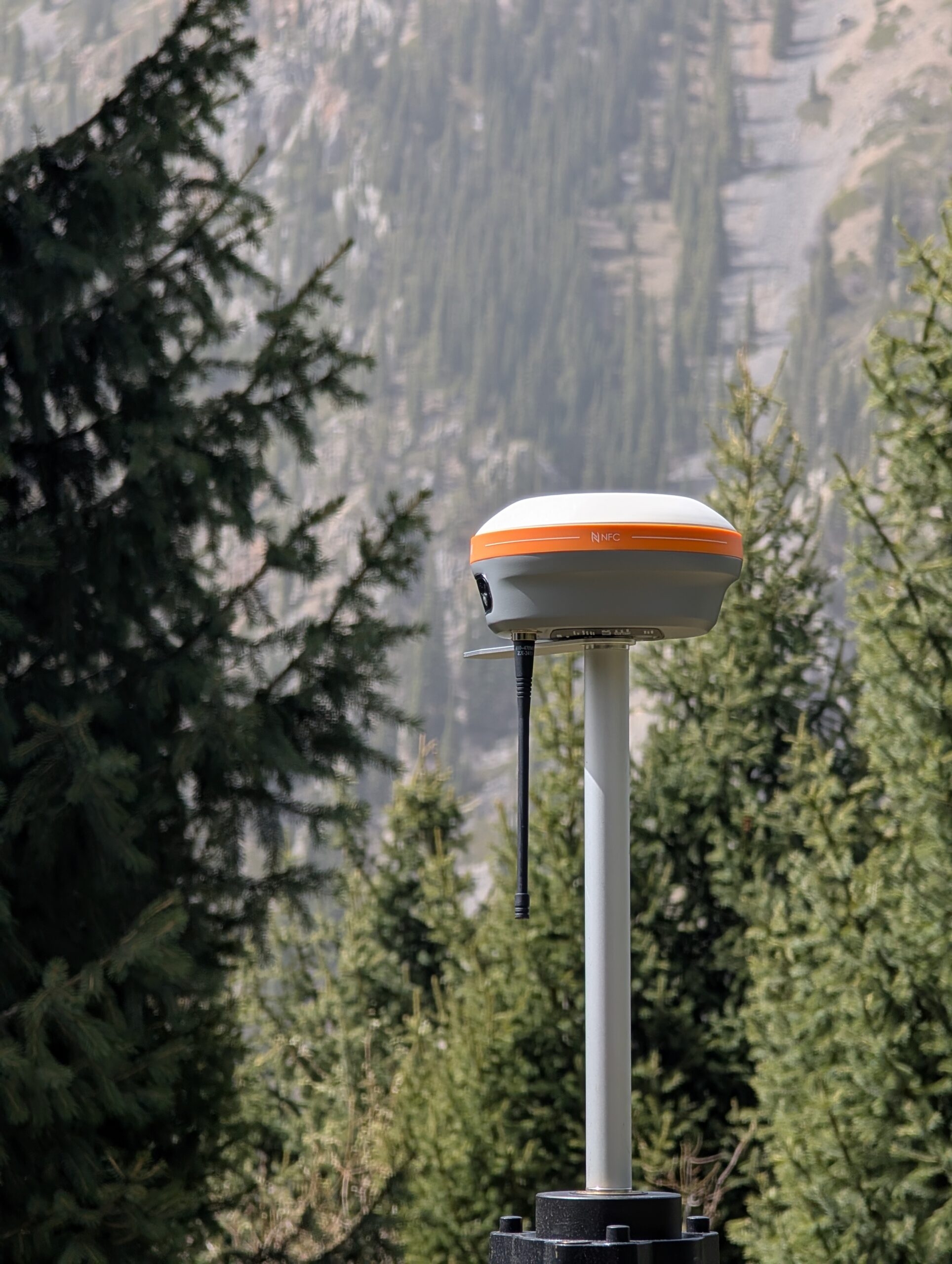
The work was carried out based on the elevation plan provided by the Client. The obtained data was transformed into the local coordinate system.
Field work
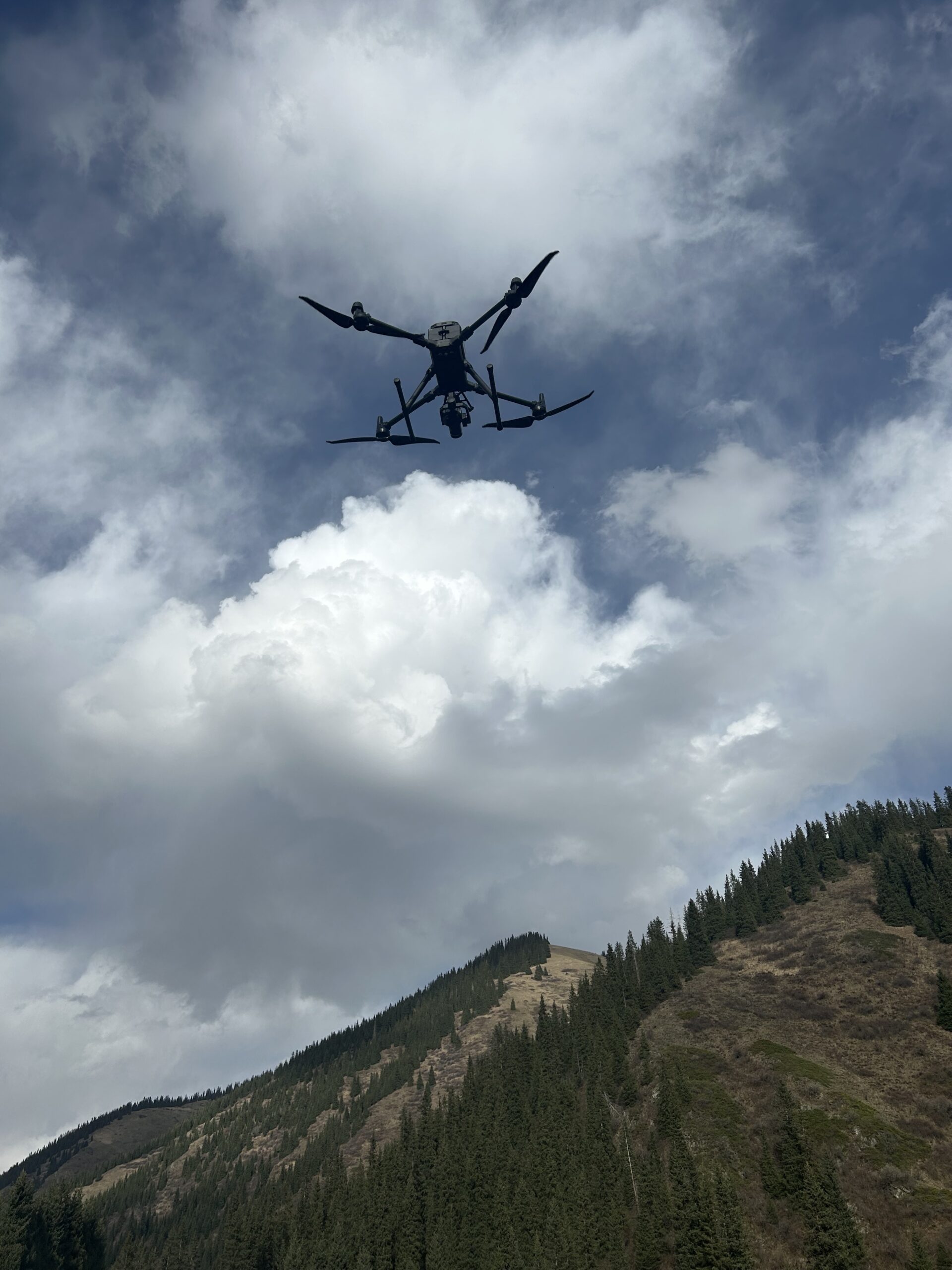
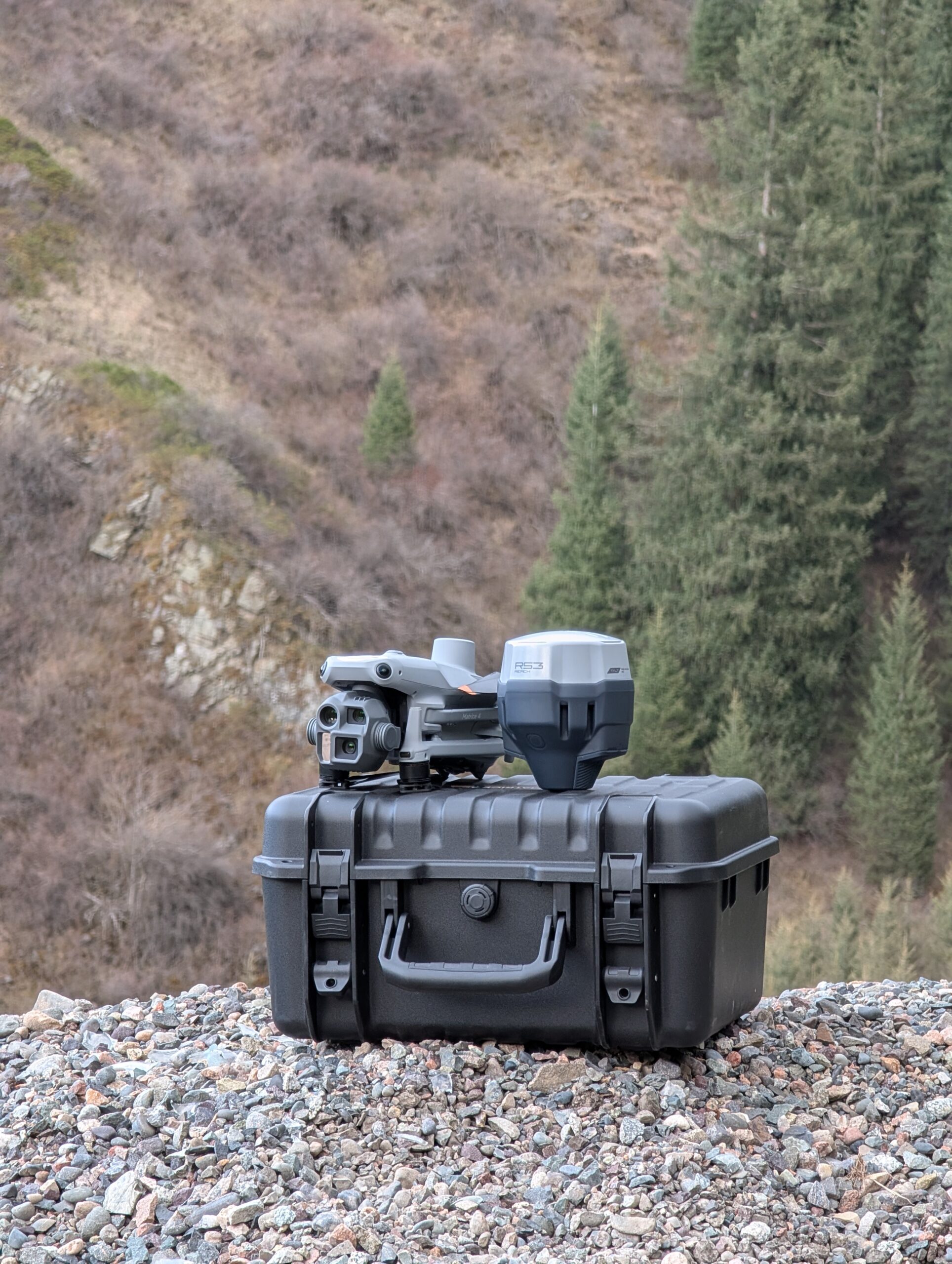
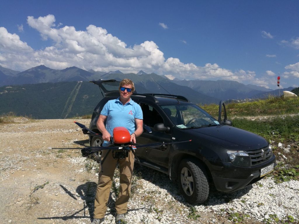
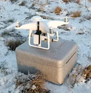
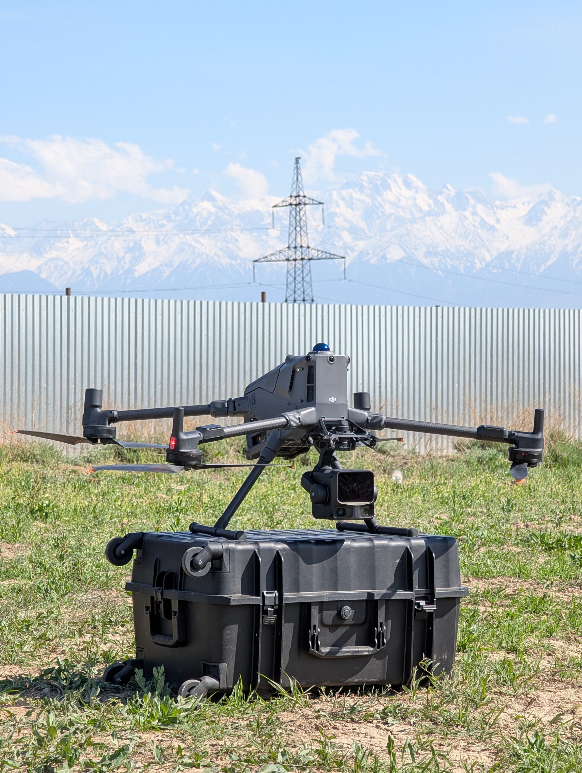
Application DJI Matrice 400 and DJI Zenmuse L3 lidar made it possible to survey a large area in a limited time, while maintaining the necessary detail of the original data.
Key shooting parameters:
-
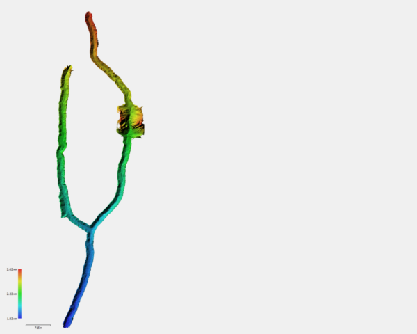
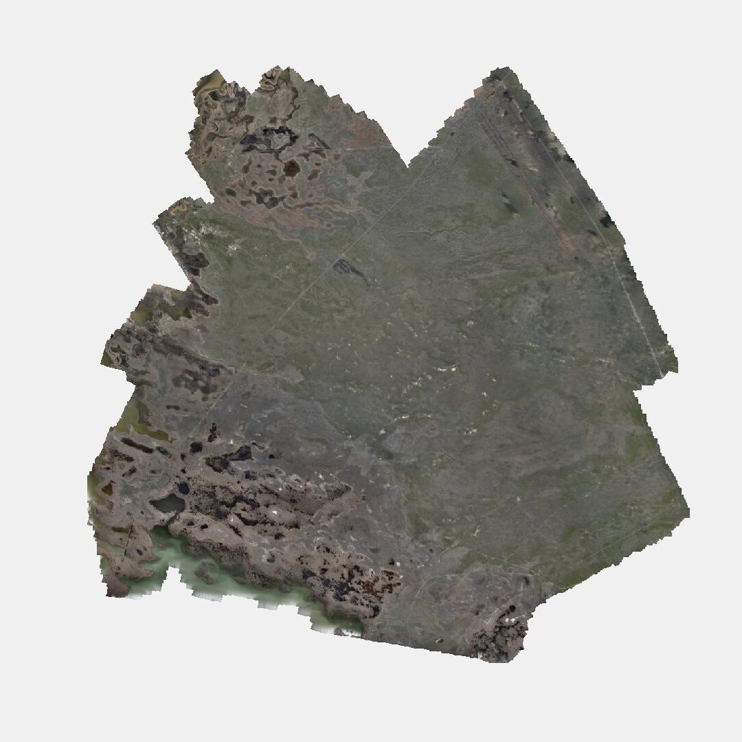
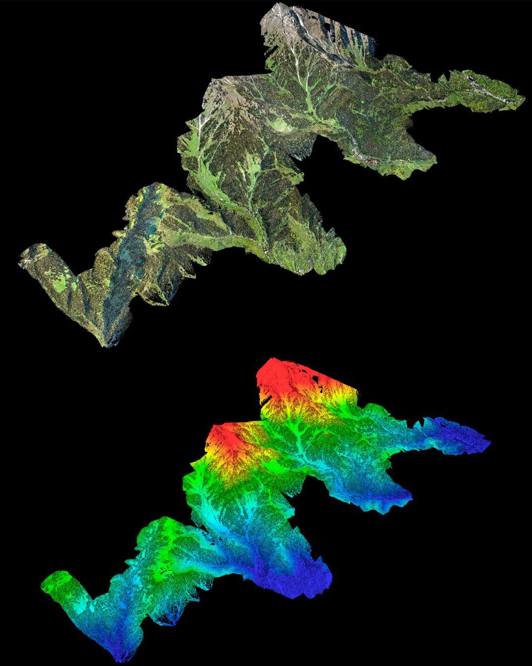
Length of the object — 29 km²
-
Elevation difference – 1,500 m
- Number of flights – 17
-
Duration of the field stage – 2 days
Office data processing
After completion of the field work, a full cycle of processing of airborne laser scanning data was carried out.
The treatment included:
-
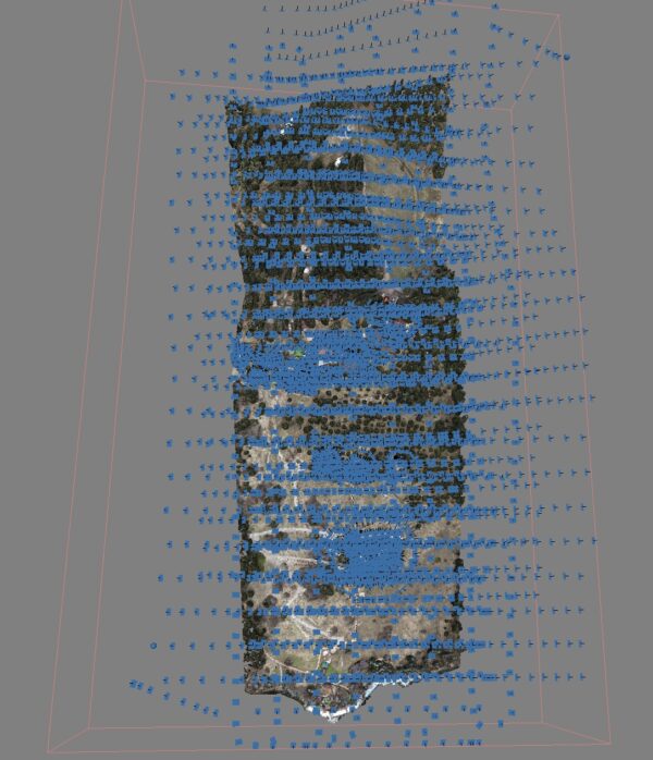
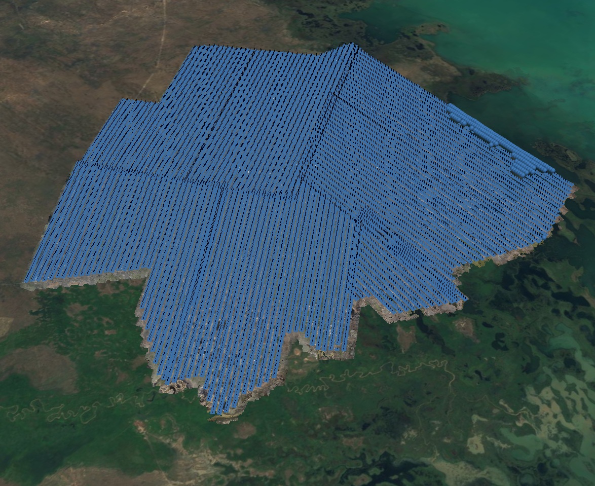
output of flight paths;
-
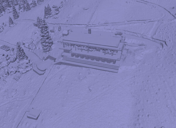
output of point clouds and merging into a single data array;
-
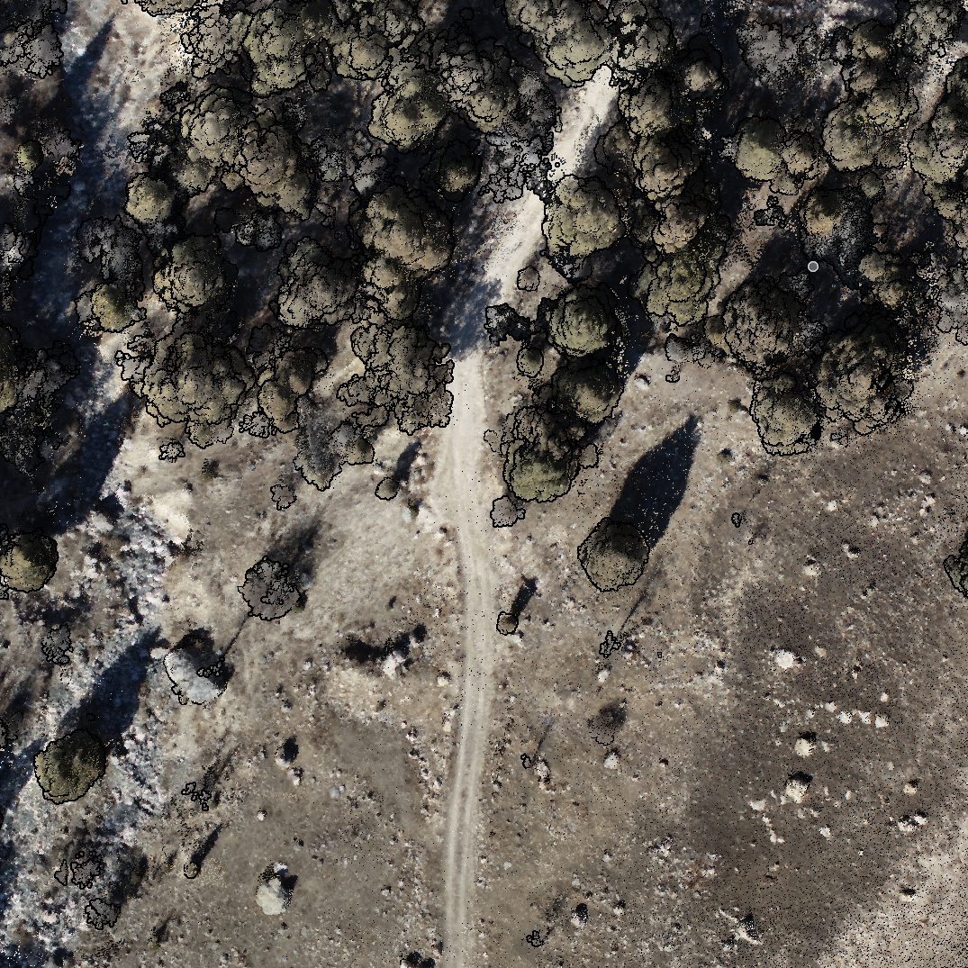
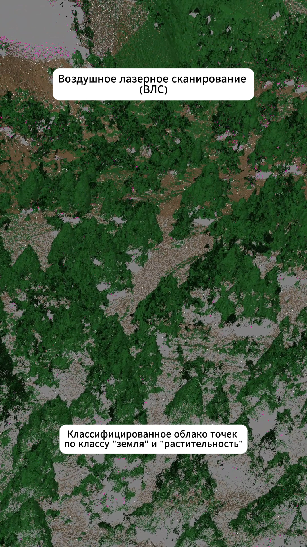
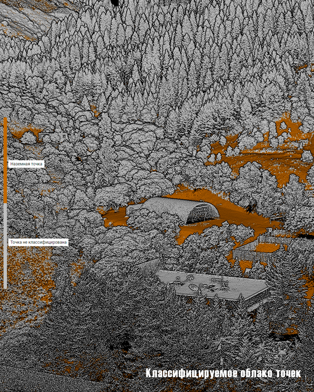
point cloud classification;
-
transformation of a point cloud into a local coordinate system;
-
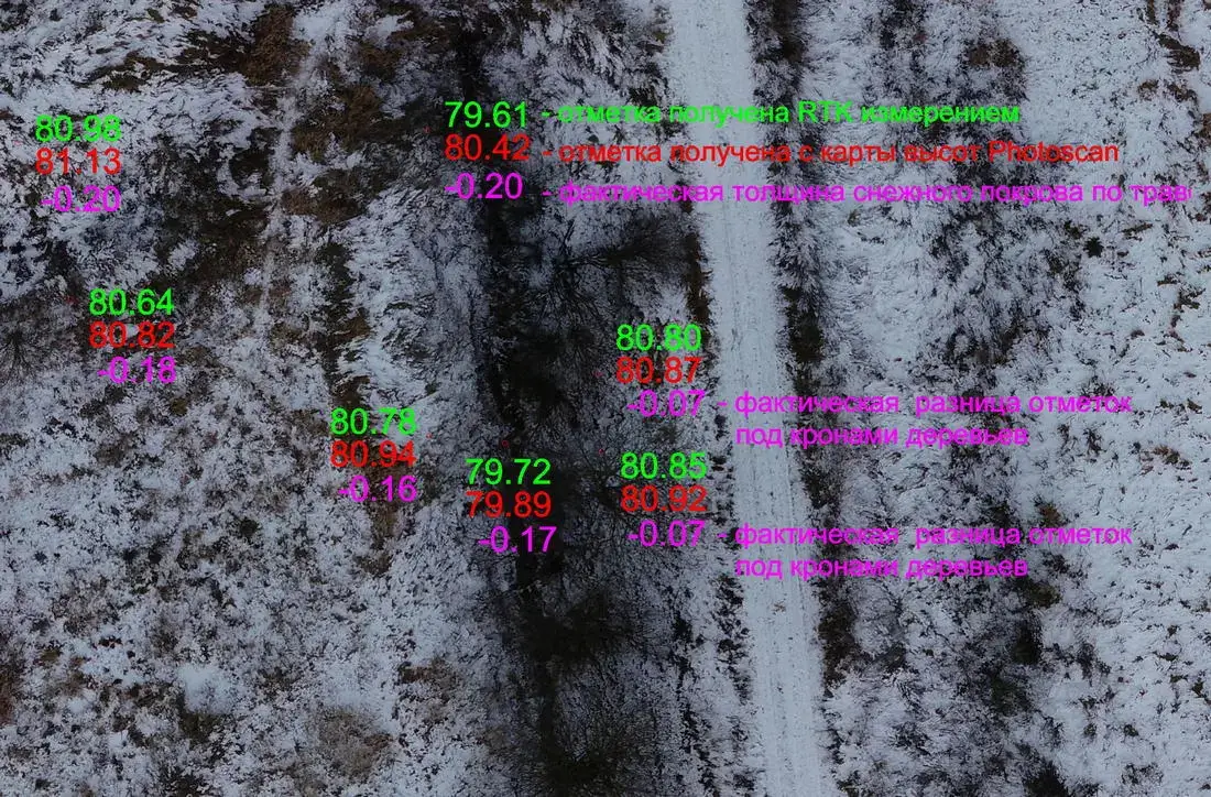
control of the accuracy of the point cloud according to the created plan-elevation justification.
Office processing period - 5 days.
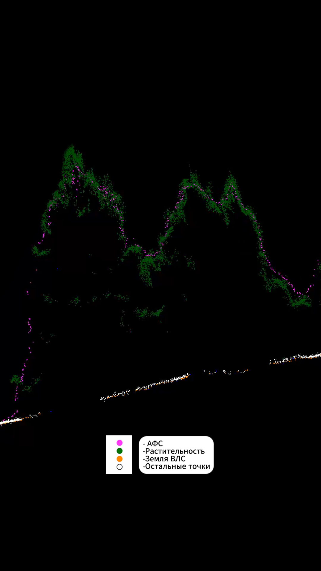
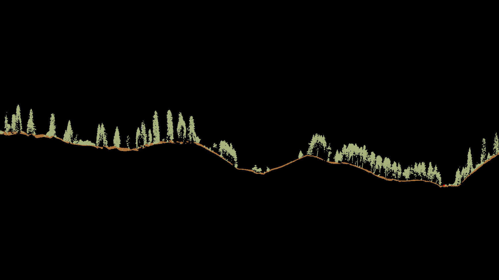
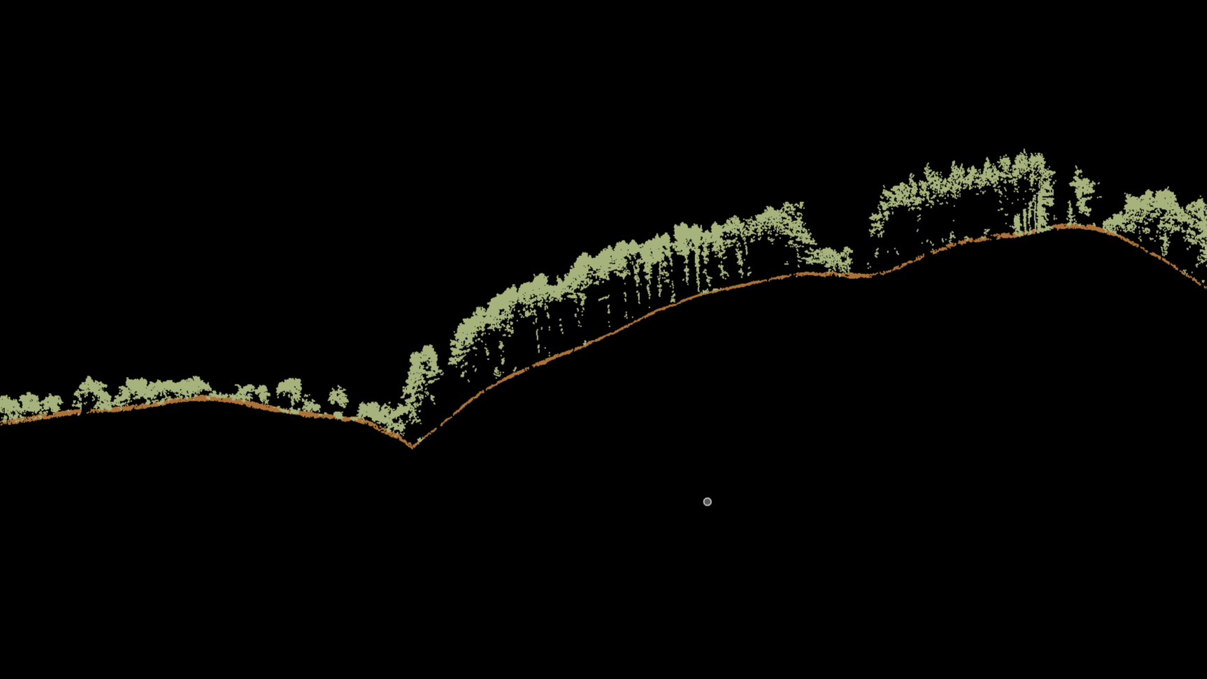
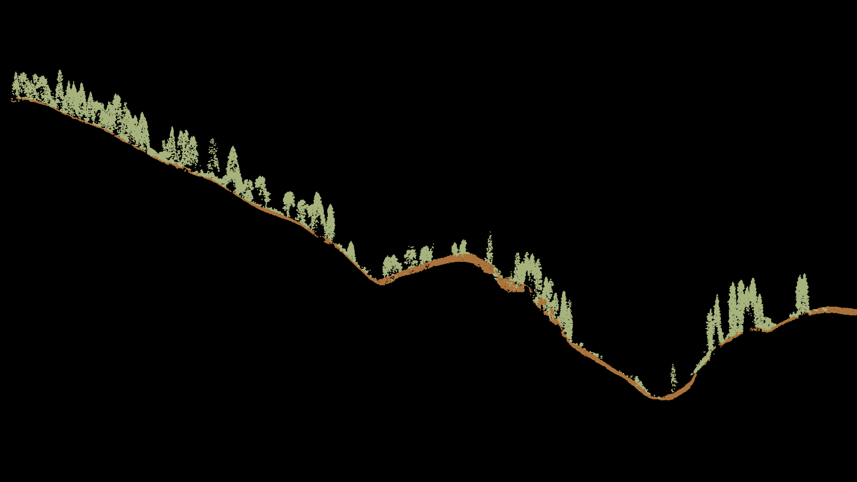
Longitudinal sections of the VLS point cloud
Final materials
As a result of the project, the Client was provided with a classified point cloud in a local coordinate system, prepared for further use in engineering surveys and design.
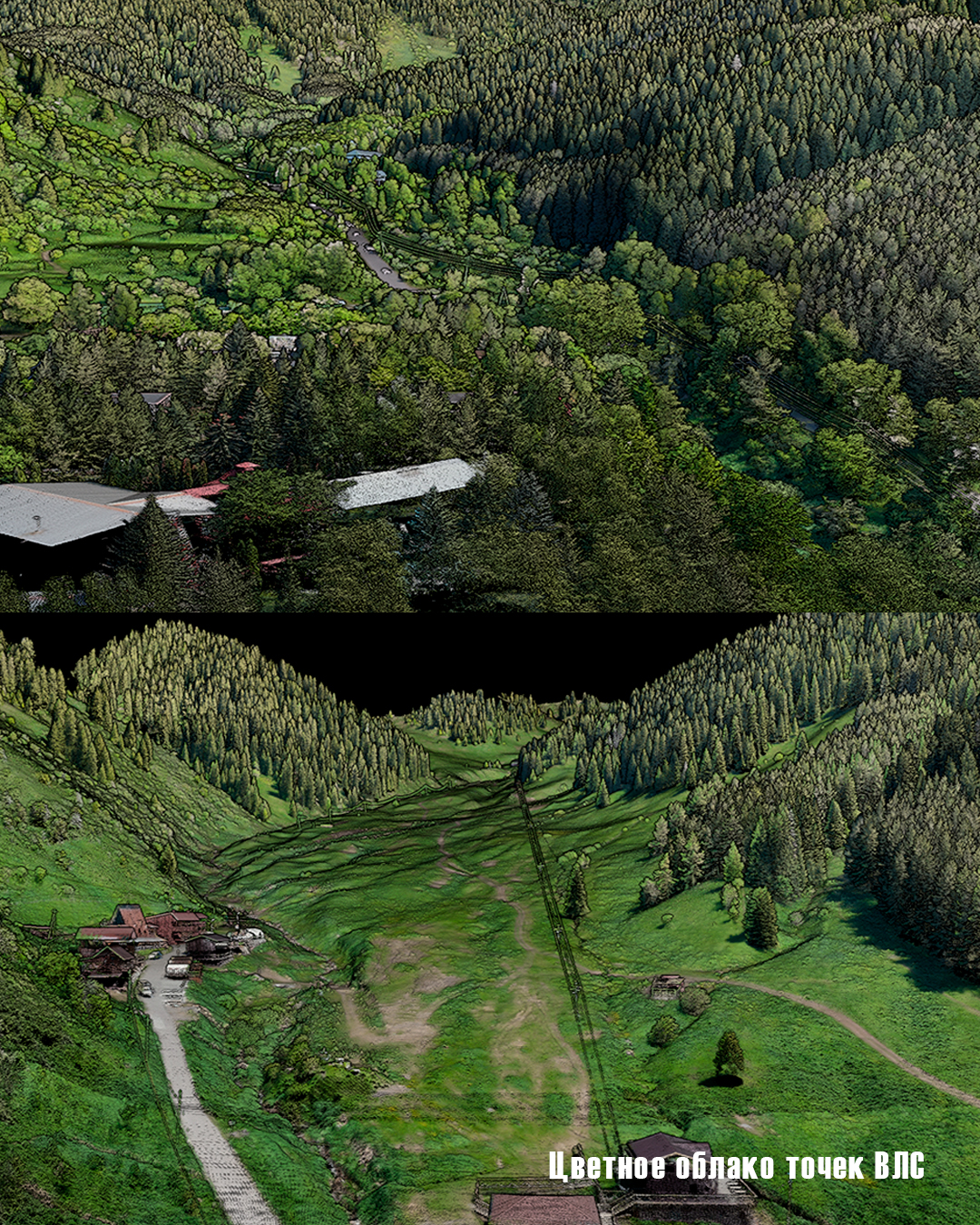
This project demonstrates one of the key advantages of airborne laser scanning for engineering surveys in complex terrain: the ability to quickly obtain detailed spatial data in an area where a comparable volume of ground-based survey would require significantly more time and organizational resources.
The use of modern LiDAR systems on UAVs is particularly effective for mountainous and hard-to-reach areas, linear infrastructure, and other sites where complex terrain becomes a key factor in planning engineering surveys.